Karhunkierros (The Bear's Trail) hiking route with Teemu, 2024

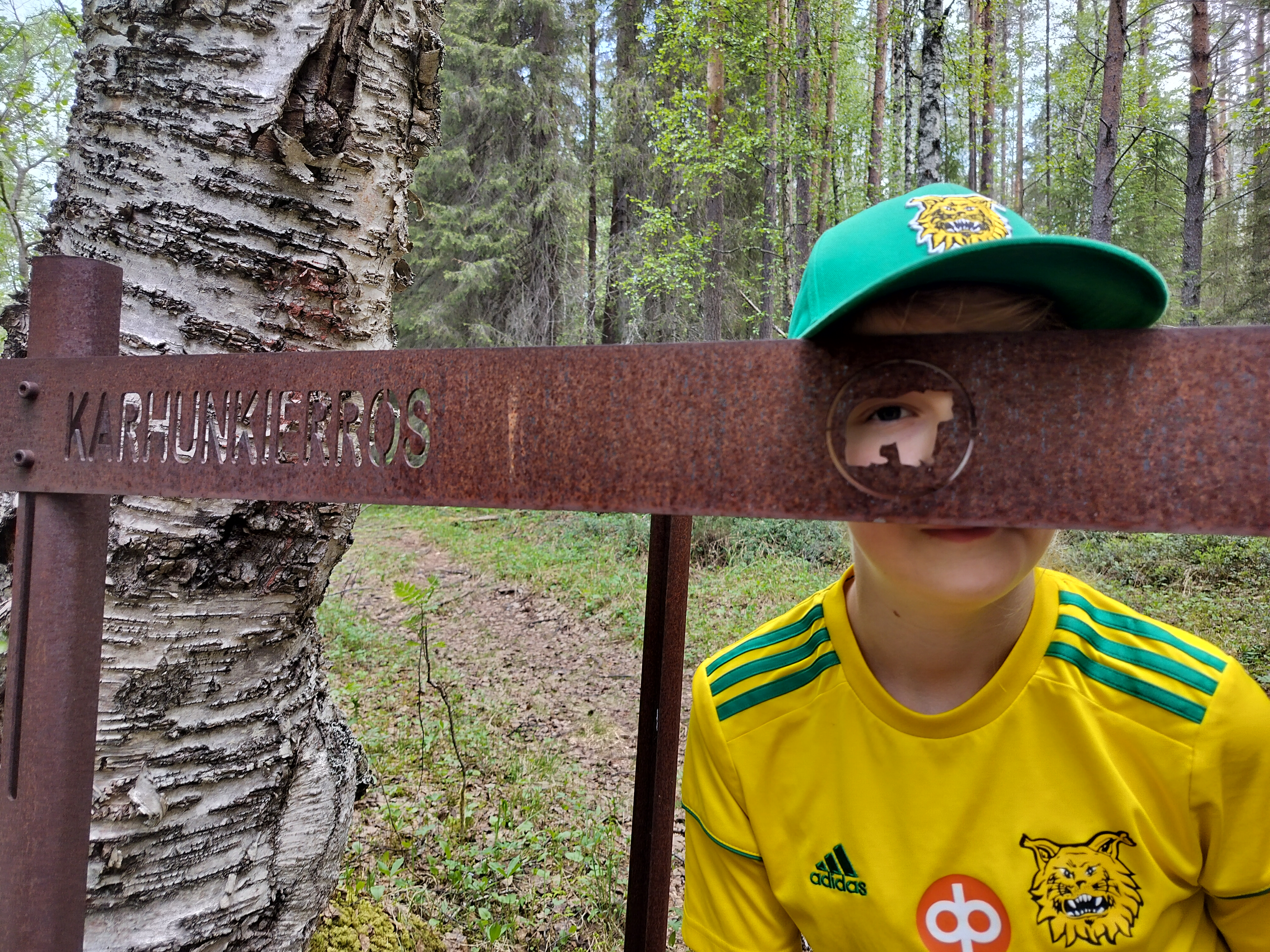
One-eyed bear.

3.—7.6.2024

So this is the second longish hike I do with Teemu. He is 12 years old and a sturdy hiker. It's good to walk with homebrew company.

I am writing this journal not as a direct translation of the Finnish one, but rather keeping in mind how to describe the experience to foreigners. There's a lot that is at least vaguely familiar to all Finns, but unheard of in Central Europe.

The hike was 72 km long and took place in Kuusamo, near the Russian border and just below the Arctic Circle. We got there by train, bus, and taxi. The Finnish government is so nice to provide us with wilderness cabins and lean-to-shelters. The services at the barren cabins: roof, walls, floor, door, windows, raised floor/bench for sleeping. Sometimes even gas for cooking. There is a fireplace and firewood too, but usually not needed in the summer.

There are 41 national parks in Finland, and long hiking routes exist in the northernmost ones. Oulanka has a foresty scenery with massive rocks and rivers with roaring rapids.

Teemu is already talking about the next hike, and Kerttu is asking when she can join. Teemu says that he can come with Kerttu and me on our hike, 'but will we still do our own long one?'

Other stuff:

Spot the swans on the other side of the lake. Ristikallio.

Arriving on Monday

Arriving by night train to Kemijärvi (Lapland) and then taking the bus and taxi to the starting point, we set foot on the actual path around noon. We shared the taxi with a group of three girls just out of high school. They were planning to return on the same Friday train with us, and we would probably be walking together a lot.

I have walked almost the same route in 2006. This time I wanted to take the 72 km version instead of the 82 km, because the last 10 km in the North has really a boring scenery. We set off for the Ristikallio route. The first scene, Ristikallio, showed us vertical cliffs tens of meters high. You lose the sense of scale here. The path went up and down, sometimes meeting the river, and up again. Our backpacks felt light to carry (18 and 8 kg), virtually no mosquitoes, and it felt easy to walk. A good start for a hike.

Teemu spent the evening showing off with the Rubik's cube. 'Name any country and I will make its flag on the cube.' He also had some self-drawn comic strips that he showed everyone. They were much liked. I amused myself by carving a butter knife that snaps on to the butter box.

We stayed the night at a noisy cabin next to the Taivalkoski rapids. It's funny how the noise made by a river is a pleasure to the ears, but if the same dBs were from instruments in the lab, it would feel painful. Other people at the cabin went to bed around eight, and we soon followed. The 'bed' is just a wide bench where we put our sleeping mattresses, which in turn are 2 mm thick. I need a thicker one next year.

Neidonkenkä (Calypso bulbosa), the signature plant of Oulanka. Unavoidable. Kiutaköngäs rapids and red cliffs.

Tuesday in thunderstorm

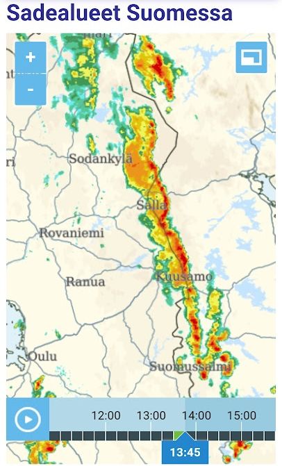
Having gone to sleep early, our cabin mates woke up at half past five, waking me as well. Yesterday I had checked the weather forecast, which said rain at 10 and terrible thunderstorm at 1. Our plan was to walk to the visitor centre and have lunch during the rain. The Karhunkierros route is located near a main road and crosses roads and villages, and thus there is mobile network coverage everywhere except in canyons.

Today we started to follow the river Oulankajoki. The first thing in the morning was to cross three suspension bridges before actually starting the day's walk. To the trained Finnish eye there was great variation in the nature and biotopes: sometimes moist and fertile soil with a lot of calcium, on the other hand barren sand or rocks.

The river Oulankajoki flows in a deep bed that it carved in the sand that fills a larg rupture in bedrock. Imagine that the river is now 30 m deep in the sand, after 11500 years of hard work after the ice age.

I explained the physics behind river meandering. Teemu said: 'I never thought that water has such powers, but now that you say that each droplet pushes the riverbank, then it's clear that the river digs its way through sand.'

Speaking of power of water: we found dry grass on trees 2 m above the river surface. So this year's flood has been 2 m high at least at Taivalköngäs. It had almost reached the suspension bridge. There probably was a 'dam' of ice blocking the rapids and thus letting the water rise.

We had to wait quite long for the thunderstorm. After lunch and a thorough visit at the nature/visitor centre, it finally got dark and we received a severe thunderstorm, flashing and thunder all the time. It was clearly a wise choice to stay inside.

As you can imagine, you could fill the water bottles almost anywhere. If not from the big river, then from smaller streams that we would encounter at less than one kilometre intervals. I have a reverse osmosis water bottle that you fill with river water and then s-q-u-e-e-z-e hard to press the purified water out. Ten years ago we just drank straight from the rivers, and to be honest, I don't know why I now have the purifier. Official signs tell people to boil water before drinking, but obviously they have to be careful in what they advise.

The last two kilometres today happened to be on a dry plateau 30 m above the river. We were out of water, and Teemu was exhausted. On a scale of 1:50.000 it is difficult to know whether the route is next to the river or 30 m above.

Tonight's cabin, Ansakämppä, was down next to the river, at the end of stairs. I pushed aside my needs, made water for Teemu and then dinner. After dinner Teemu was again running around, and I went to the river to wash myself and my shirt.

I had slept in the same cabin in 2006, with the fascinating company of a Dutch family. They had a 10-year-old little sister walking all the way. When I was 10 or 12, I would never have been able to complete such a hike. I remember doing the Little Karhunkierros (12 km) at that age, but without backpacks.

Morning fog at Oulankajoki. Like an excavation site but natural.

Wednesday to end all Teemus

It was a perfect morning for breakfast at the river bank, and also perfectly early thanks to our cabin company. Teemu taking his time to eat porridge, I had time to go skinny dipping. The river was refreshing so that I had to get out before my feet freeze to death. I would approximate 15-17 degrees. There was a funny vortex in the river: the water was flowing to the left next to the bank, while the main stream flows to the right.

Today was the hottest day of the hike, +23'ish. We would walk a great distance on a difficult path. When I wondered why we were carrying a Trangia brand hike kitchen (1 kg) and a tent (2 kg), we met an older guy with only a small backpack. I'm inclined to try out lighter hiking, and hope to carry less on our next hike. Of course I will have to test my gear in the South first: my smaller cooker (400 g) and tarp (500 g).

At Jussinkämppä we met a group of three ladies approximately my age. Teemu presented his comic strips, and later on at Ylikota he listed chemical elements in the order of the periodic table (only forgetting Nobelium, he admitted later). These people were an exceptionally pleasant bunch to meet on a hike. I was a bit jealous of them, because they have a hiking group of equal members unlike us, with all the responsibilities on my shoulders.

Usually you marvel at the sight whenever you climb 60 m high. This time we were both exhausted by the climbing, and just moved forward hoping to reach the shelter. The first sign of Teemu's tiredness is that he stops talking (about Minecraft), but now we got to the point where he actually started to complain in a nagging tone. I listened for a while and then said, 'I know you are tired and I am taking that into account, but would you please stop because it's making me feel worse.' Teemu said, 'okay,' and shut up. We should have made dinner earlier, and actually followed this advice on Thursday.

Tonight we slept in a lean-to-shelter. Teemu read, 'learn to shelter' in the English signs and wondered why he had to learn it. The shelter is like a very low house without the front wall. You can usually set fire in front of it and enjoy the warmth and the light. Now both existed naturally, so we just set up the mosquito net and slept. There weren't more than two mosquitoes during the night, so actually no need for the net either.

Kepa was here. I thought she didn't join us. Scenery.

Thursday at the Little Bear's Trail

While Karhunkierros provides a long hike in the scenic Oulanka national park, its little sister, the Small Karhunkierros, is a route with concentrated rapids, cliffs, and sights. Today the first part of our journey was along the small route. We saw many day trippers with small backpacks and dogs.

Having seen so many rapids and cliffs and breathtaking scenes they were not as exciting as should be. We actually just walked past the wonders, only stopping for raisins at Jyrävä. The cabin was built in 1940, originally as a fishing hut for a famous Winter War general Hjalmar Siilasvuo.

During our 2006 hike we never used any restaurants or services, but this time I asked Teemu whether it would ruin his hiking experience if we went to a restaurant. He said it was ok. We left our backpacks behind a shed and diverted from the actual route to Juuma village. The one kilometre felt like flying when there was nothing to carry. After lunch, Teemu practically flew through air and hit himself on the ground. His shoelace was apparently caught by the other shoe. Luckily nothing damaged beyond repair, and Teemu was fixed by 10 cm of band-aid.

After the Small Karhunkierros, there was mostly forest, marshland, flatness, and forest roads. We stopped at Porontimajoki for dinner (today before hunger hit us), just in time to spot some mermaids / river nymphs swimming in the waters. I gave some hydrocortison lotion to one who had burned her shoulders.

My map was 20 years old, from the previous hike. The hills and rivers were correct on the map, but sometimes the path had been rerouted. At Porontimajoki I checked the map and saw that our route would lead us through marshland, mostly flat. It turned out that someone had thought it as dull, and thus rerouted via all the hilltops available. Nice view in the horizon, slow walking.

The forecast for Friday showed constant rain. At the lean-to-shelter I tried to fix everything as ready as possible for the last morning and last day's walk. We hid our backpacks in the firewood shed, lifting them up on the walls so that rodents wouldn't reach them. Rain clothes were next to us in the shelter. We shared the shelter with two older ladies who went to sleep before us, and didn't get up until just when we left.

Oh those pretty views.

Return to the civilised world on a rainy Friday

I woke up to the morning light just to realise it was only 02:58. I pulled some cloth back over my eyes and slept more, listening to the rain and occasional thunder. The rain had ceased when I got up after six. Anyway, it was wise to set up the kitchen on the doorstep of the wood shed. We packed and left when our company started to crawl out of their sleeping bags.

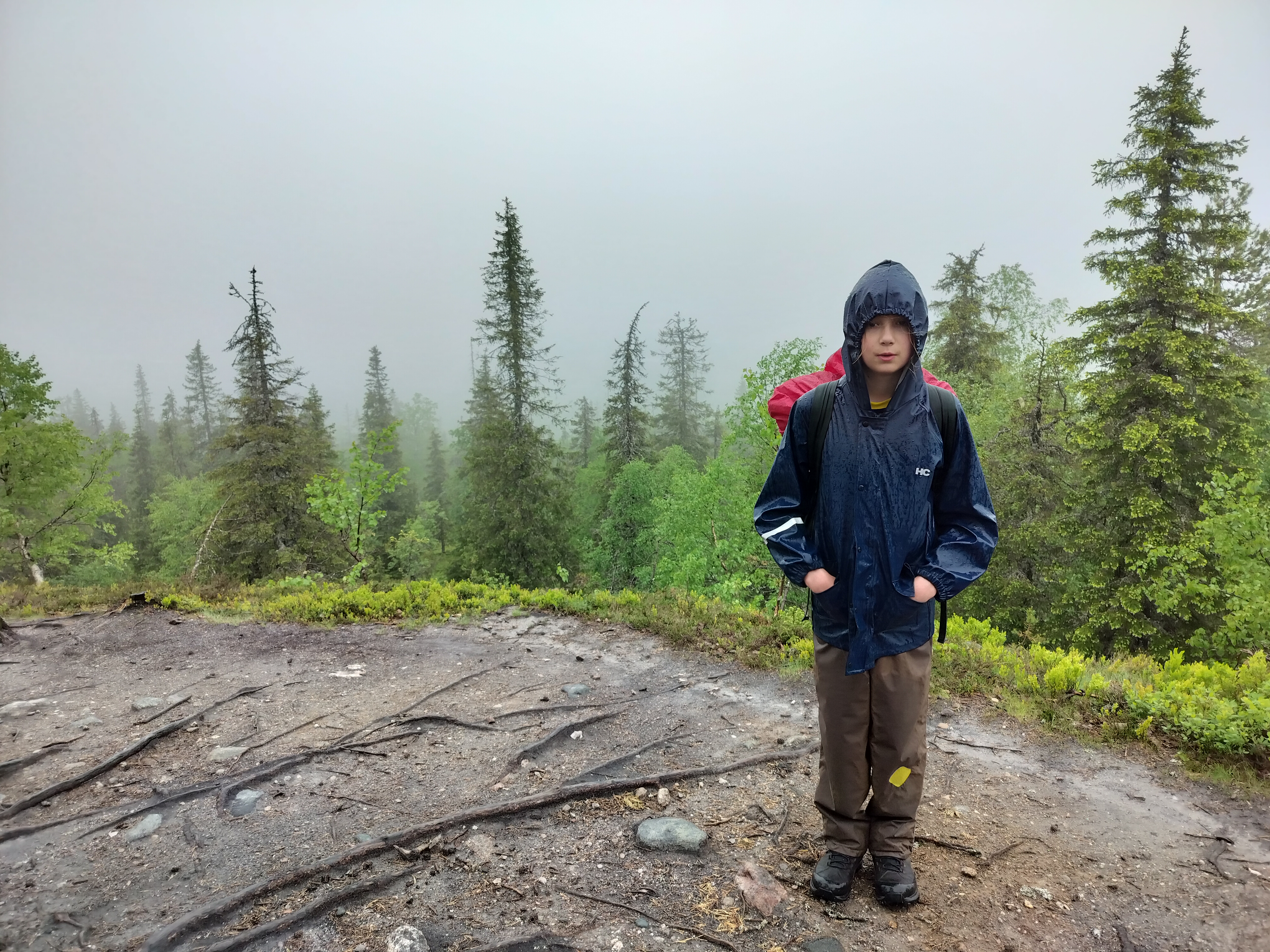
The rain wasn't so bad, and the places where I had feared slippery rocks were now equipped with stairs or at least a rope to help ascending or descending. The sleeves on Teemu's raincoat were too short and he was shivering.

The drawback to walking inside the rain cloud is that you see nothing. The path was visible, but what is the point of climbing the hill if there is no view? On the very steep Konttainen hill we got a glimpse of the scenery, but otherwise it was just cloud and howling wind.

The path was marked with orange dots on trees, and when we neared the destination (a downhill / travel centre), the markings grew denser and denser -- until they completely stopped when we reached a paved road. This led to a bit of a detour over the Ruka hill, adding some 2 km and a hundred meters of ascent.

Teemu's lights went out at the Ruka village, but we managed to buy some food for the train. The pizza place was the only open restaurant among the dozen others, and we met the three girls again. They said they feared that we had been evacuated on a helicopter. Rumours tell that someone was injured.

I don't recall ever not waking up on a night train, but now I slept all the way to Tampere.


Text Tiiti Kellomäki, photos mostly Tiiti Kellomäki 2024. To Tiiti's hike front page